March 27, 2023
Back to Posts
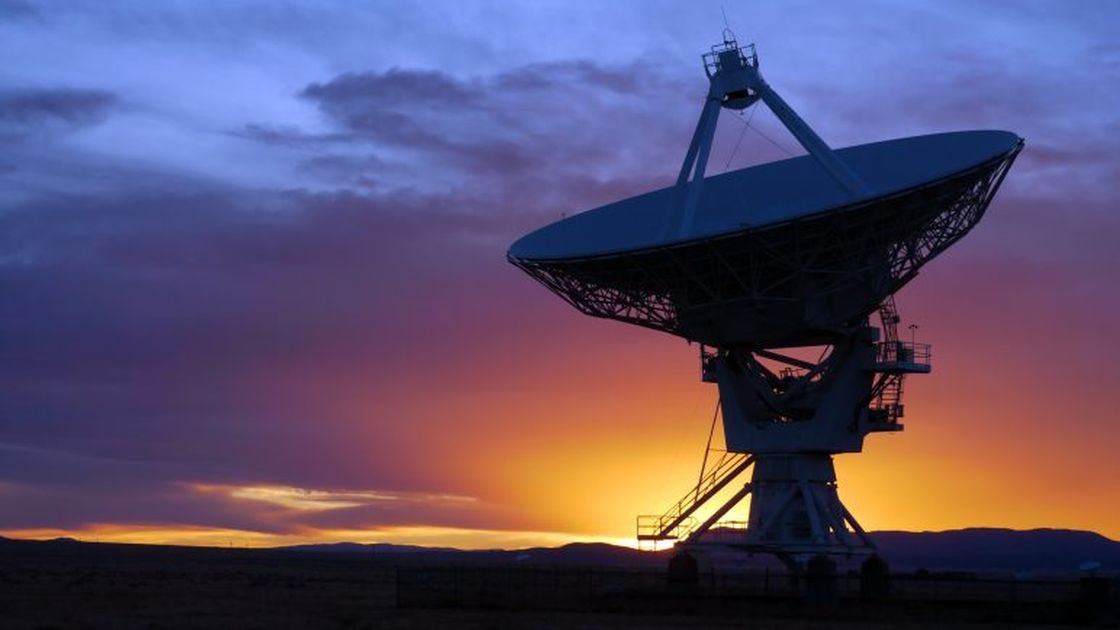
A state-of-the-art satellite positioning service in Southland, in the lower South Island, New Zealand, will bring GPS accuracy to about 10cm, refining data for aviation, search and rescue, and many other industries. The Southern Positioning Augmentation Network (SouthPAN) is a partnership between government agencies Toitū Te Whenua Land Information New Zealand and Geoscience Australia.
Land Information Minister Damien O’Connor turned the first sod on site of the uplink centre at the Space Operations NZ Satellite Ground Station in Awarua on Friday 24 March.
He said the greater levels of positioning and navigation accuracy would have benefits beyond the aviation industry, including boosting precision farming, and helping safety on construction sites. The first of its kind in the Southern Hemisphere, the centre would be part of a network of global navigation reference stations, computing centres, signal generators and satellites.
The process would augment and correct satellite navigation data, allowing for a location accuracy from the present 5m to 10m, to as precise as 10cm, even in remote areas of New Zealand and maritime zones. O’Connor said the project was a vital investment in digital infrastructure essential for New Zealand’s economic future and a fantastic example of trans-Tasman co-operation.
“This will improve safety for people who are in emergency services,’’ he said. “It will improve opportunities for aviation, so planes can be landed with accuracy and confidence in really, really bad weather situations.’’ The project was open access digital infrastructure that gave entrepreneurs, both now and in the future, the opportunity to provide new services and grow the economy, O’Connor said.
It would provide “a platform for anyone with an innovative idea to hook into it in Australia and New Zealand, as they do in other parts of the world. And we will keep up with the evolution of technology. With early Open Services now freely available, SouthPAN enables farmers and growers to use invisible fences and drone-based spraying to manage livestock and crops.’’ It would also improve safety in industries, such as construction, by providing virtual barriers that protected people from heavy machinery.
O’Connor looked out over the flat Awarua terrain on Friday and said, “I guess it’s just about a NZ$750m bit of land’’, a reference to the contribution from the New Zealand taxpayer to this project. But the potential was independently estimated to be of $864m over 19 years for New Zealand, with further developments capable of new wealth creation beyond that.
Lockheed Martin was the prime contractor for the service and the regional director for Lockheed Martin Space, David Ball, said the technology was world-leading. “What’s exciting to me is the new applications and capabilities that will come from the research that we’ll do around this service,’’ he said.
When operations started early next year the Southland facility would work in tandem with a centre in New South Wales. Ultimately SouthPAN would extend to more than 30 reference stations across New Zealand, Australia and further afield, including Antarctica. The technology was already used in Europe, the United States, Japan and India.
Source: Stuff
Latest Posts
SEWG – Meeting 19 February 2026 – Invercargill
The theme for our meeting was Vegetation to Manage erosion,…
SEWG – Meeting 25 September 2025 – Balclutha
The theme for this meeting was all about Managing Slash,…
Wāhine in Forestry announces a networking event for Otago & Southland
Wāhine in Forestry, a growing network for women across New…
Report on the Southern Wood Council Forestry Training Awards 2025
Friday 16 May 2025 saw another great event for the…
SEWG – Meeting April 2nd 2025, Otago
The Southern Environmental Working Group kicked off in Dunedin on…
SWC 2025 Awards Nominations
Nominations are open to all persons who qualify under the…